By now, perhaps, you’ve discovered MPR’s latest blog. The Minnesota Floods ’11 blog is posting updates from around the region.
I’ve been trying to assemble a pictorial guide to river levels with a little bit of success. When we media types throw around “flood level” numbers, it’s hard to know what it means in “real life.” If you live near a river, consider taking a snapshot each day (from roughly the same position) and sending it to me, documenting what time you took the picture. It’ll help the project to expand the number of locations.
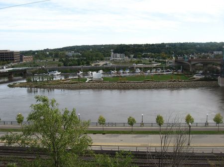
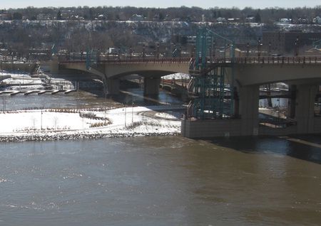
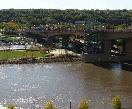
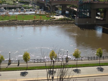
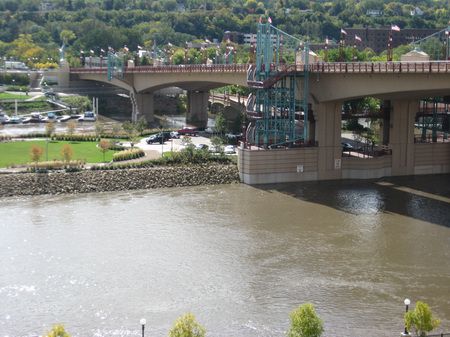
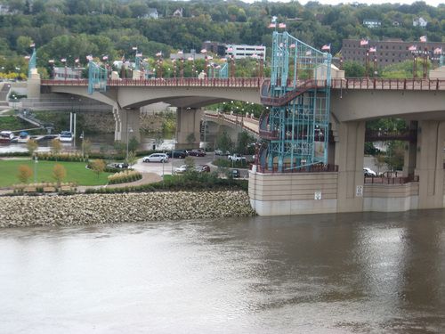
I started last fall with the Mississippi River as it flows through St. Paul. What I’ve learned is a three-foot rise in the river level to major flood stage is nowhere near as dramatic as it sounds. Here’s the latest:
| Raspberry Island | |
| 18.5 ft
3/28/11 |
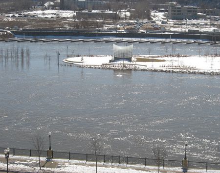 |
| 15.4 ft
9/30 |
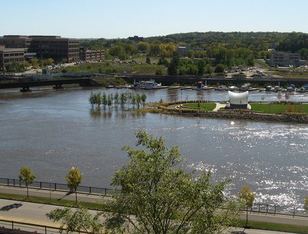 |
| 13.5 ft
9/29 |
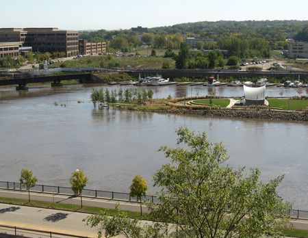 |
| 11.3 ft
9/28 |
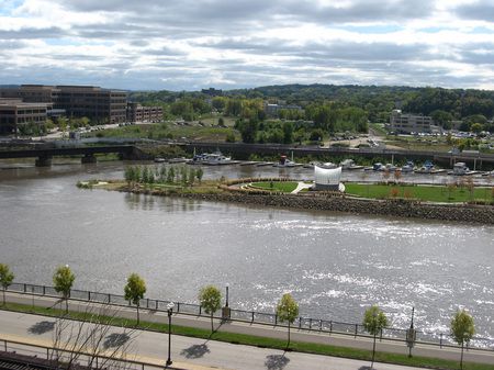 |
| 9.2 ft
9/27 |
 |
| Wabasha St. Bridge | |
| 18.5 ft
3/28/11 |
 |
| 15.4 ft
9/30 |
 |
| 13.5 ft
9/29 |
 |
| 11.3 ft
9/28 |
 |
| 9.2 ft
9/27 |
 |
